
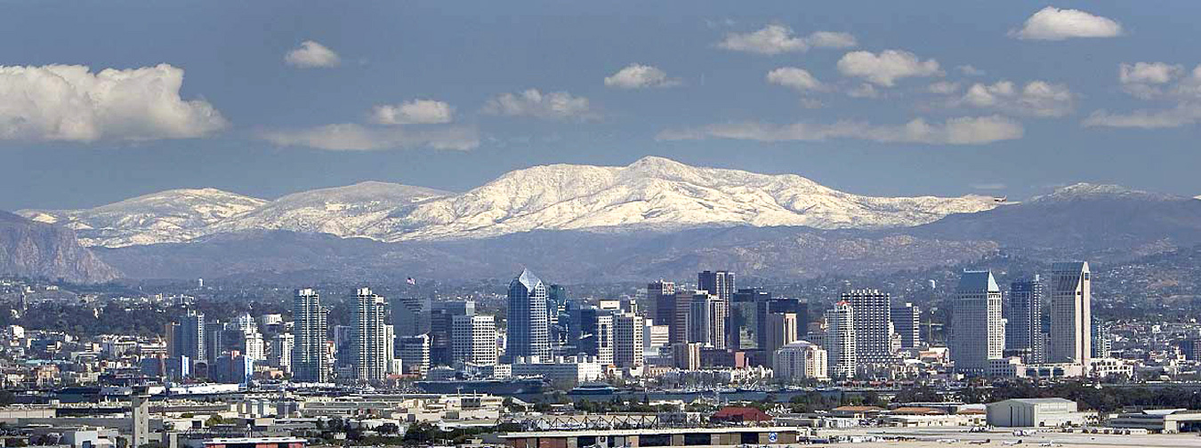
 Laguna Mountains
| Laguna Mountains | |
|---|---|

Laguna Mountains, south of Palomar Mountain and
Elsinore Fault |
|
| Highest point | |
| Peak | Cuyapaipe Mountain |
| Elevation | 1,944 m (6,378 ft) |
| Coordinates | 32°50′21″N116°24′01″W
|
| Geography | |

 Location of Laguna Mountains in California [1] |
|
| Country | United States |
| State | California |
| District | San Diego County |
| Range coordinates | 32°48′30″N116°26′57″W
Coordinates: 32°48′30″N 116°26′57″W
|
| Topo map | USGS Mount Laguna |

The Laguna Mountains are a section of the Peninsular Ranges in eastern San Diego County, California. The mountains run in a northwest/southeast alignment for approximately 20 miles (32 km).
The Laguna Mountains are bordered by
the Cuyamaca Mountains area on the west and
the Colorado Desert on the east, where the mountains form a steep escarpment along the Laguna Salada Fault.
To the north the Laguna Mountains are bounded by the Elsinore Fault Zone and to the south by Cameron Valley and Thing Valley.
The highest point is Cuyapaipe Mountain at 6,378 feet (1,944 m). The mountains are largely contained within the Cleveland National Forest. Snow falls on the highest peaks several times a year. Mount Laguna is a village in the Laguna Mountains with a population of about 80.